

OK, it’s been a minute since our last update. A lot has been going on. 2022 has been a mix of challenges, great trips, a couple of hurricanes, and planning for the future. We pretty much had the houses all fixed up and were enjoying the fruits of our labors.
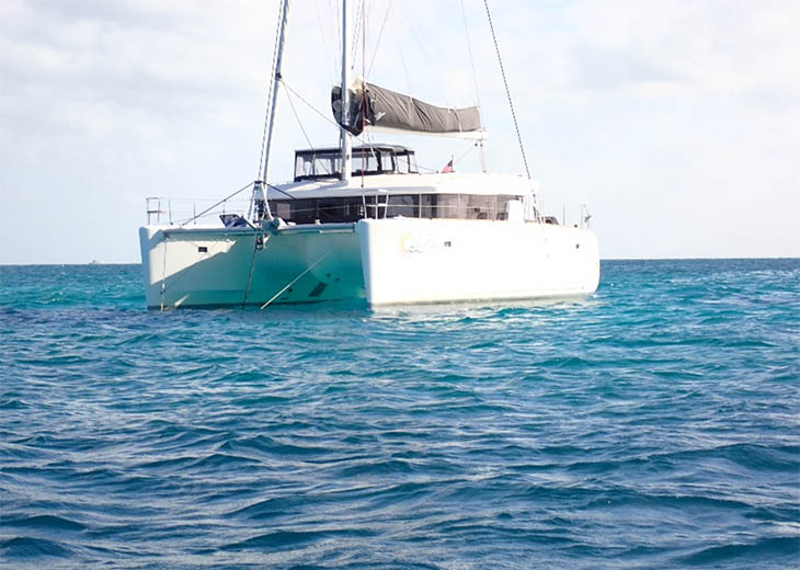
In April, we began delivery of a 2020 Lagoon 450 catamaran to Mexico. I started this delivery the previous year from Annapolis. The owners and I left Oxford, MD, and sailed it to Cape Canaveral, FL. It sat there for a few months waiting for Lagoon in Fort Lauderdale to have an open slot for some repairs. Lagoons had a problem with bulkheads not being strong enough to support the compression and hulls twisting underway. Repairs consist of installing steel around the bulkheads to absorb the stresses that occur. Once we had a slot, we took the boat from Cape Canaveral to Lauderdale Marine Center for said repairs. Those repairs were completed back in March 2022.
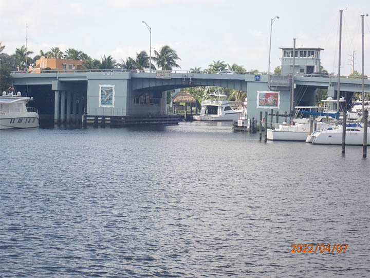
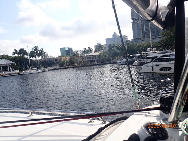
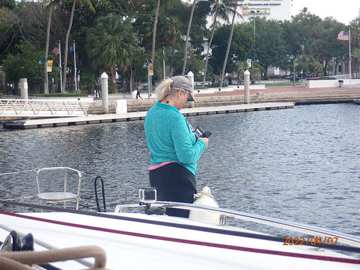
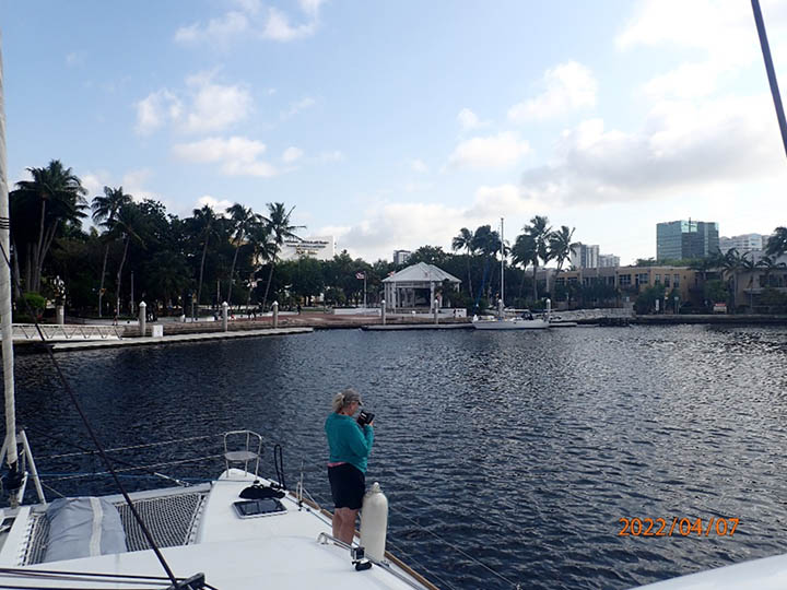
We arrived the first week in April and quickly began prepping the boat for her long voyage to Mexico. I spent the previous months planning the routing, checking the weather, organizing stops, permits, vaccinations, and all else that needed to be done to make the trip. The route was to leave FLL, sail to No Name Bay, and then sail across to Bimini Bahamas to check in. The first obstacle was to steam down the New River. The New River is a narrow windy, heavily transited, and populated waterway that has a pretty strong current and landmarks that are unique to itself.
Large private yachts (greater than 100 feet) often go to Lauderdale Marine Center for repairs and refits. These yachts often require tugs on either end to negotiate the sharps turns and blind spots along the way. Since the river is narrow in most places, it is critical to have good radio comms along the way. Moreover, certain landmarks are used to describe your location. A very good friend of mine, Captain Bill Kinney, has written an excellent article that was published by the Waterway Guide describing the transit.
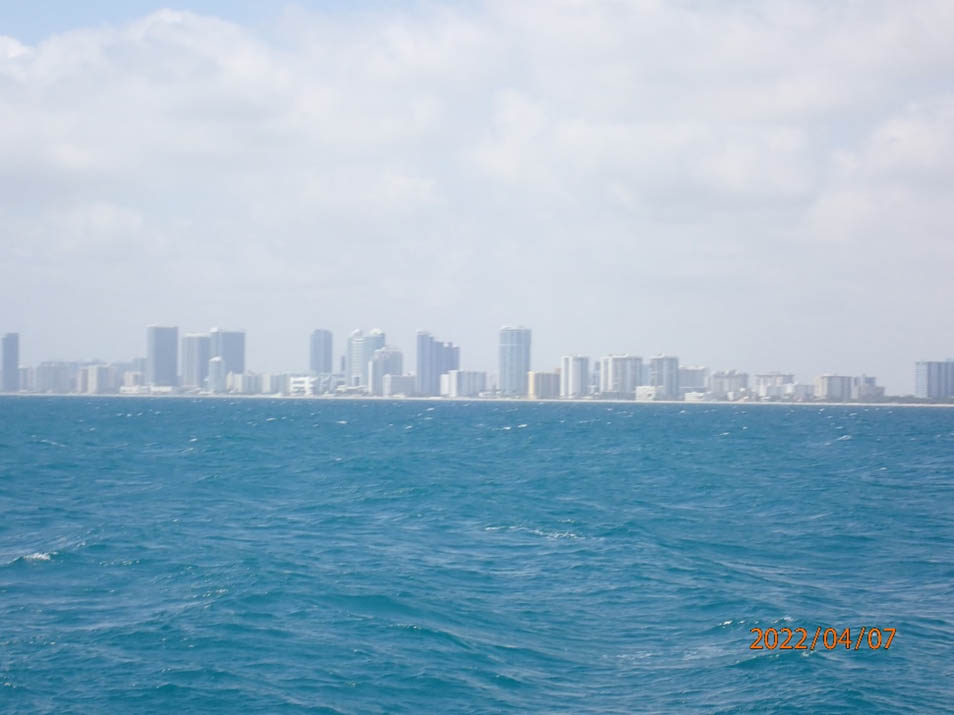
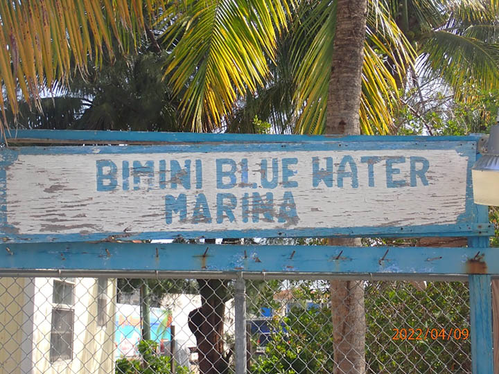
Anyway, after we cleared the New River without incident, we stopped for fuel and topped off on the ICW. We then went offshore to No Name Bay to stage for our next leg, but not without our first squall at the entrance. Winds blew out of the south at 40 knots with heavy rain. We waited outside the entrance, and once the storm passed, we scooted in and dropped the hook around 2000 hours. We got up around 0200 and got ready for our next leg to Bimini. Underway, we faced pretty much headwinds most of the way across [Gulf Stream] to the North Entrance of Bimini. It was a pretty fast trip across, and we were docked by 1030.
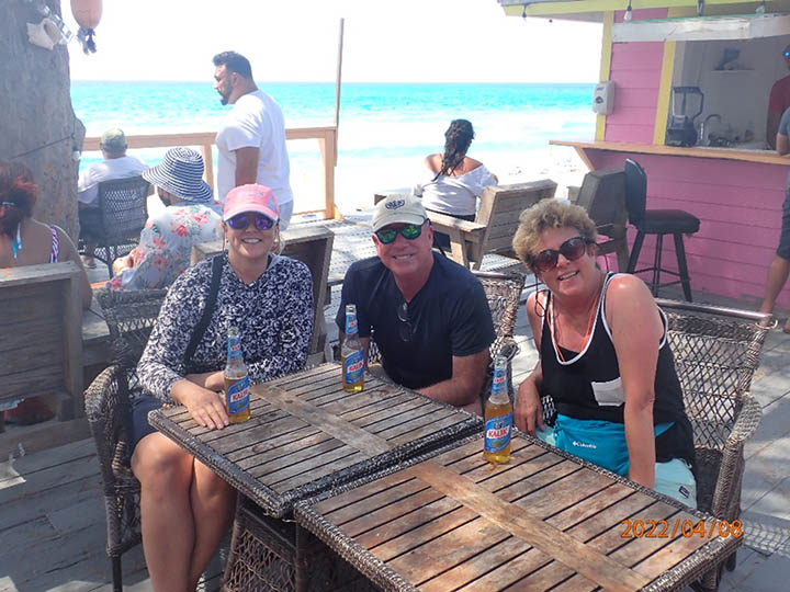
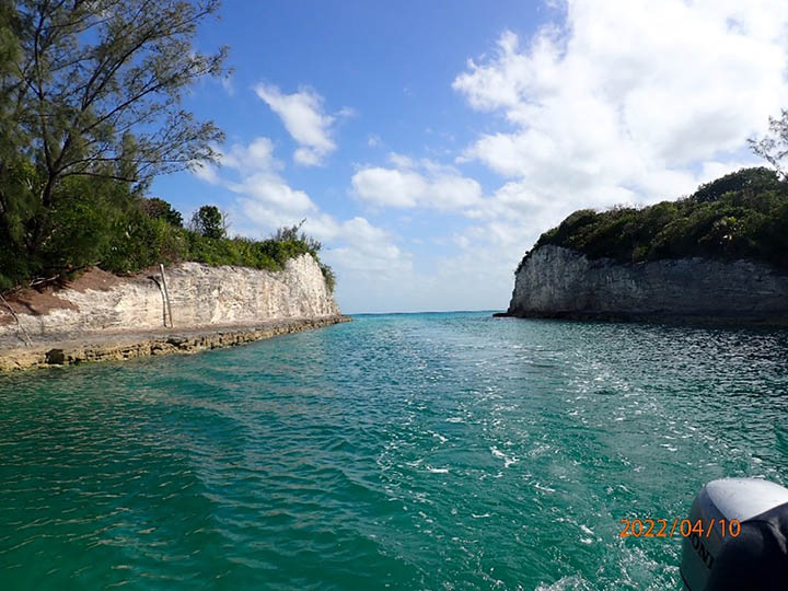
It took me just over an hour or so to check us in and clear Customs and Immigration. We spent the rest of the day re-positioning the boat to another slip and poking around the island. The next day our goal was to sail across the Great Bahama Bank towards Rose Island. This is a very shallow piece of water that is crystal clear. We arrived at the Northwest Channel Passage very early in the morning [0300] and scooted through, passing the only ship we had seen going in the opposite direction. We sailed past Nassau around midday and anchored off of Rose Island late in the afternoon.
We spent a day anchored off Rose Island and explored it some. We got some much-needed rest and planned our next leg. Our next goal was to make Highborne Cay.
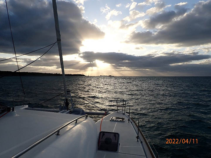
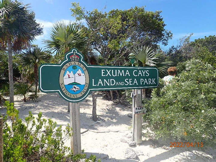
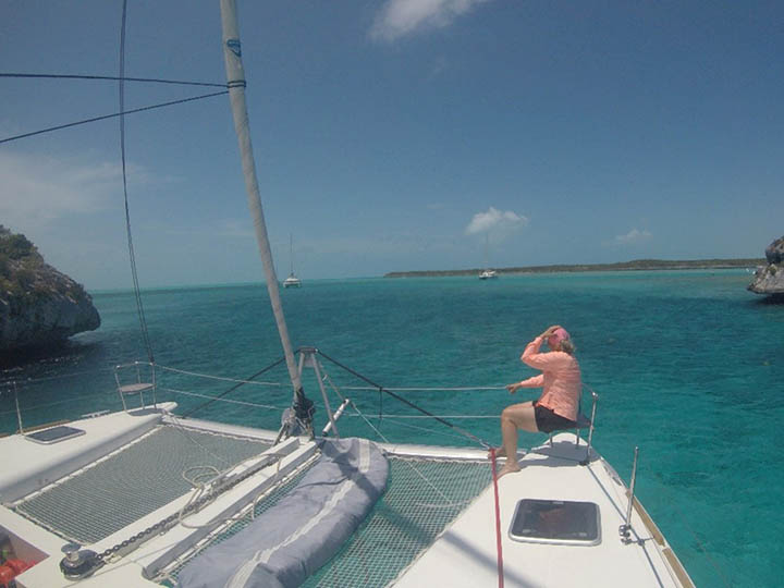
With only about 38NM to get to Highborne Cay, we departed on April 11th around 0345. Along the way, we tried some boat maneuvers (sail trimming, tacking, heaving –to, etc.). Everyone was getting comfortable being on the boat and learning about living on a boat for an extended time. Scenery was great, as was the water. We arrived at the anchorage at about 1630. We anchored overnight and left the next day for Exuma Land & Sea Park.
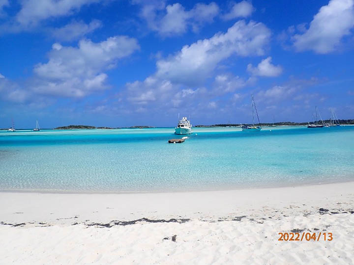
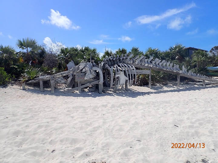
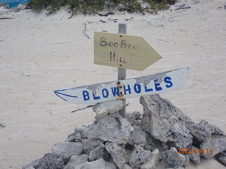
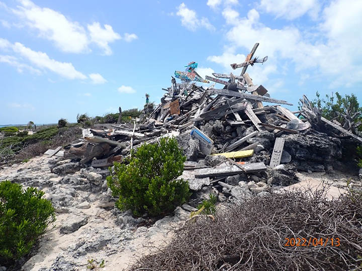
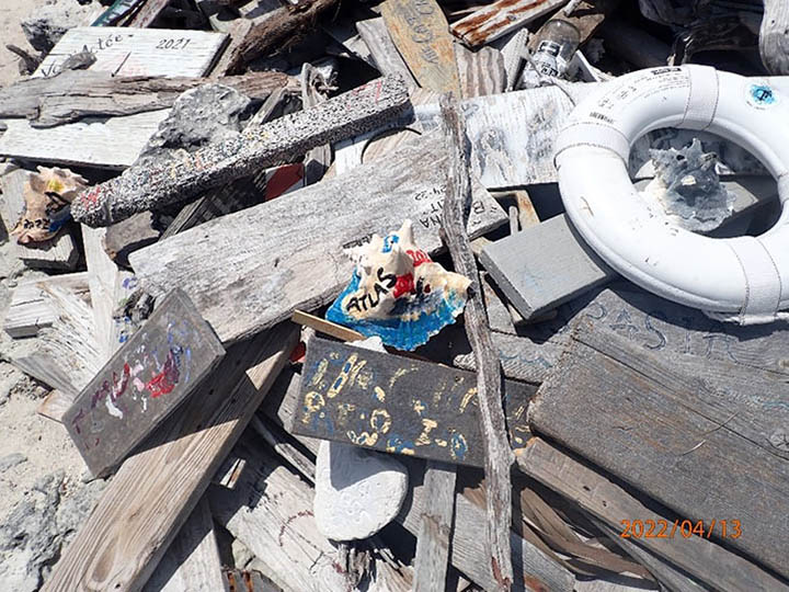
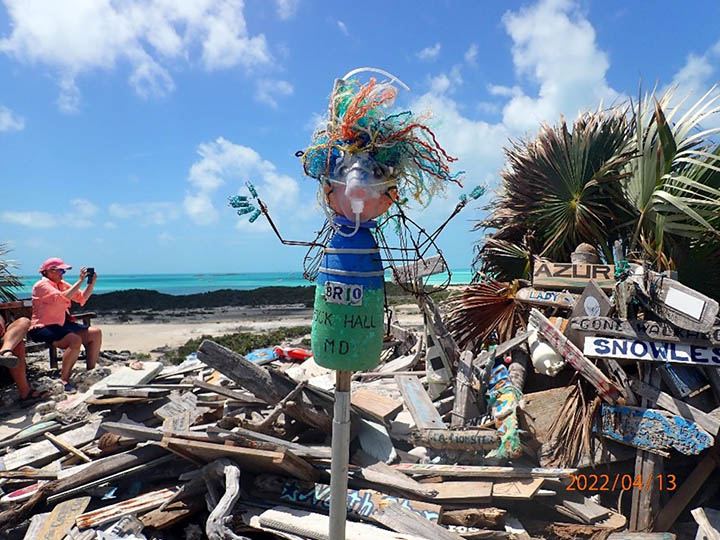
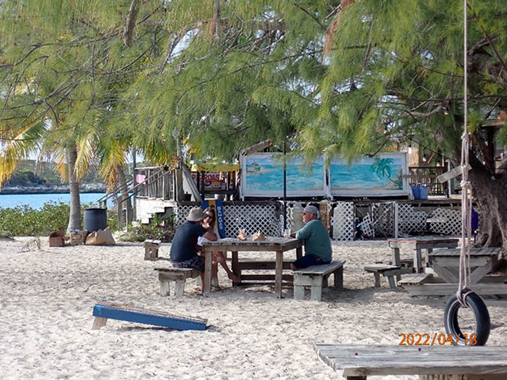
We spent a couple of days there exploring this wonderful park. Of the 21 parks in the Bahamas, this one was the first park established in 1959. Warderick Wells is a great anchorage and provides easy access to the park. Of note is Boo Boo Hill, where cruisers climb the hill and add their boat name to the collection.
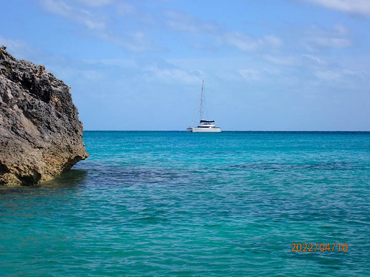
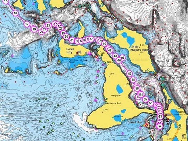
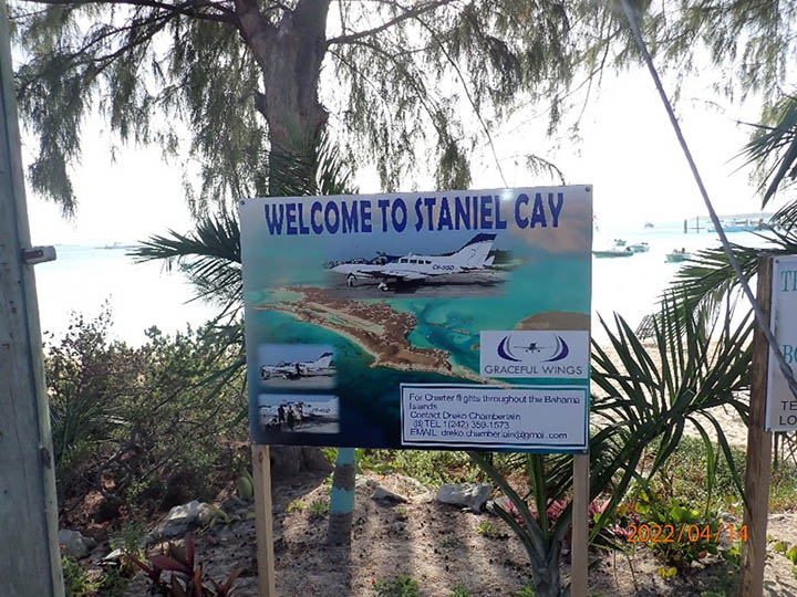
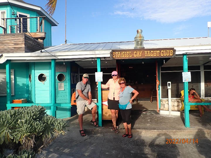
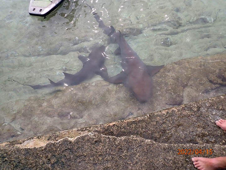
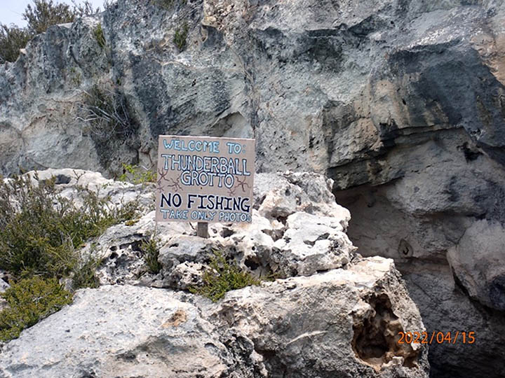
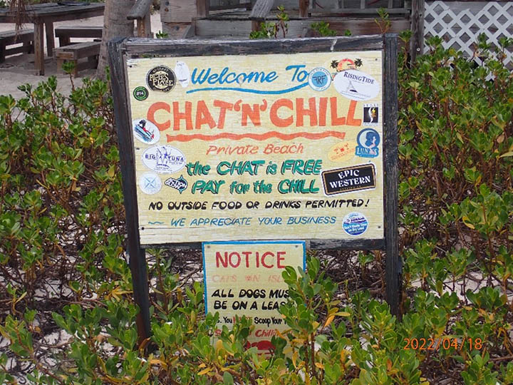
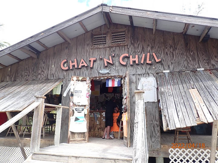
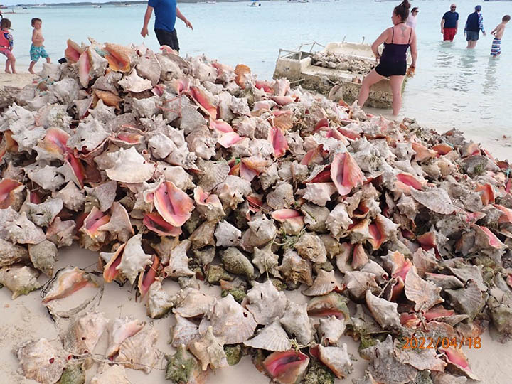
Leaving Warderick Wells on April 14th, we had a short but challenging run (22NM) to Staniel Cay. Instead of staying in the Exuma bank, we elected to take the Northern Pass. It was scenic and gorgeous, albeit a bit tricky with the currents and shoals. The hardest part was finding a good anchoring spot. We finally managed that and had a great couple of days exploring Staniel Cay, the yacht club, Thunderball Grotto, and the swimming pigs next door.
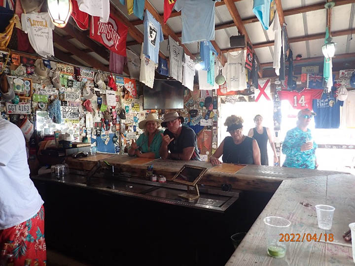
The yacht club was totally fun. It was great swapping stories and finding out where folks are going to and coming from. Looking forward to going back. We’ve been aboard the boat now for just over 2 weeks, and everyone has gotten into the groove now. Routines well established; get up, have coffee and breakfast, get underway, be impressed with the scenery, get to next stop, anchor, have sundowners/dinner, then repeat. Life could not be better…. Of course, there’s always your WX eye; keeping a lookout for adverse weather conditions; be they squalls, high winds or waves, or other boats and crew in trouble. And lastly, you gotta keep an eye on your boat, making sure all your gear works properly. You never know when it will be put to the test.
Getting anxious, we left Staniel Cay and down the Exuma Bank for Galliott Cays. There’s a cut there that will allow you to cross over to the east side of the Exumas, and make your way to Georgetown. Along the way, we had a cold front pass through. Some stiff winds and light rain, but no problems were encountered. We anchored overnight and went through the cut the next morning, and sailed down to Black Rock and Georgetown anchorage. We spent another couple of days in Georgetown waiting for a WX window to work our way South. This is the last big stop in the Exumas. It is the Capitol of the Exumas, and has a population of 2,500 people. It’s been a popular stop since pirates called it home in the 17th century.
At this point of our trip, we had 2 possible options to sail to Puerto Rico; going East and checking out in San Salvador or continue south [after checking out of Georgetown] and sail behind Little Inagua island. So far, the winds and seas have been coming from the SE, making it somewhat tough. Pounding into head seas is no fun. Being on the west side of the island provides smaller seas and making passage more comfortable. We opted for #2, sailing towards Little Inagua. And so, we left in the afternoon of April 19th and sailed south.
The next day April 20th, about 9 NM from Castle Light (a reef in the middle of nowhere), the winds freshened and progress was becoming most uncomfortable and slow. We opted to bear off and sail towards Great Inagua, some 70 NM south of our position. The seas were running from the SE at 6 feet (2M). We arrived at Man O’ War Bay and anchored well past midnight and on the lee of the island.
The next morning, after a good night’s rest, we steamed to Matthew Town and anchored there to wait for a weather window. We ended up having to wait for several days. We took advantage of the downtime to explore the island, several bars, and the Morton Salt Company and pink flamingoes. The people there could not have been nicer and more accommodating. With a population of about 1,000 people, everyone knows each other. It is also the most southern point in the Bahamas to check in and out of.
With COVID restrictions in place, it was always a bit tough to know what offices were opened or closed. Luckily, we were able to take care of our immigration in Matthew Town.
With about 400 NM to go to Puerto Rico, we left just before midnight and into the Old Bahama Channel (?). Wind and waves were head-on pretty much most of the way. This was the longest passage the crew had yet to face. We made the most of it by sticking close to the island of the Dominican Republic. Conditions improved over the next few days, and we were able to cross the Mona Passage without incident or worry. We made landfall in Puerto Real, PR. We checked in by phone and enjoyed our visit in this well-sheltered anchorage.
So far, we have sailed just over 1,000 NM and still have a long ways to go. After a couple of days in Puerto Real, it was time to move again, this time towards Ponce. We arrived in Ponce on May 1st and anchored in the harbor. Spent several days there doing some maintenance and touring around. This is known as the Pearl of the South and the largest city on the south coast of PR. We explored the city’s offerings and had a chance to get up into the mountains and coffee plantations. It was a great stay. As Vickers likes to say, it’s time to leave on the highlight. So once again, we pointed east to head for St Thomas. We split the trip up into 2 legs – Anchoring in Puerto Patillas overnight and then onto St Thomas and Lindberg Bay.
It was now just over 5 weeks, and Vickers needed to get back to the mainland. Being anchored next to the airport made crew changeover fairly easy. Vickers left to go home, and friends of the owners came in from California. Everyone thoroughly enjoyed their stay in St Thomas. We had moved the boat over to Megan’s Bay and got ready for our next leg, St Croix.
The sail to St Croix was fast and lively. We covered 50 NM in just under 8 hours. Spent a day or two poking around the island, and now it was time for the monster leg; crossing the Caribbean Sea to Panama. Re-stocked, WX checked, we left around 2100 from Frediksted and pointed southward.
The Caribbean crossing took nearly 6 days with a max speed of 15.2 knots. We managed to stay ahead of the weather fronts and made landfall in the San Blas islands [Cayo Holades / Cayos Diablo & Coco]. Our total run was 960.3 NM [with 80 NM to go to Colon, Panama]. We spent some time in the San Blas, but our time was short since we needed to keep the boat moving towards our goal of getting to Mexico. It was now late May, and cyclone season was fast approaching.
In Colon, our agent came by to Shelter Bay Marina to ad-measure and complete the paperwork required for our transit through the Panama Canal. Once completed, we got transit time and date and set out through the Canal. The Canal transit took not quite 2 days and went smoothly. We found berthing in La Playita, Balboa, Panama. This is where we dropped off the owner’s wife and friends, leaving the owner and myself on the boat. The owner found another crewmate who joined us a couple of days later.
June 3rd, we left Panama bound for Golfito, Costa Rica. It was now officially Cyclone season just north of us. Time to hasten our travels. The trip to Golfito was squally and with beam seas. One of one most interesting sights was the bioluminescence of the Pacific. It was truly spectacular, and no camera could do it justice. One concern we had was the thundershowers. They were numerous and intense. Another reason to keep moving.
On June the 10th we arrived to Marinna Papagayo, Costa Rica. This was the most northern part of the CR. The WX windows were not looking good to the north. We waited for nearly 10 days waiting for an opportunity to move northward. Alas, a decision was made to leave the boat in Costa Rica and wait for the Cyclone season to end.
It was an amazing trip for everybody, with the sights, sounds, smells, and camaraderie that will long be remembered.